Ever look up and wonder, ‘How are clouds formed?’ It’s a question that seems simple, but the science behind it is pretty neat. Basically, clouds are made of tiny water droplets or ice crystals floating way up high. But how do they get there, and why do they look so different? We’re going to break down the basics of how clouds come to be, giving you a short answer to that sky-high question.
Table of Contents
- Understanding How Clouds Are Formed: A Short Answer
- Mechanisms Driving Air Upward for Cloud Creation
- The Process of Water Vapor Transformation
- Essential Particles for Cloud Development
- Different Ways Clouds Come Into Being
- Cloud Formation and Atmospheric Dynamics
- Classifying Clouds Based on Formation
- The Science Behind Cloud Appearance
- Altitude and Cloud Genesis
- Weather Fronts and Cloud Generation
- So, That’s How Clouds Happen
- Frequently Asked Questions
Key Takeaways
- Clouds form when invisible water vapor in the air cools down and turns into tiny liquid water droplets or ice crystals. This process is called condensation.
- For condensation to happen easily, water vapor needs something to stick to. These tiny floating bits, like dust or pollen, are called condensation nuclei.
- Air rises for several reasons: it gets heated and becomes lighter, it’s pushed up by mountains, or it’s forced upward where air masses meet, like at weather fronts.
- As air rises, it cools and the pressure drops, which helps the water vapor condense into visible cloud particles.
- Clouds are visible because the water droplets or ice crystals are clustered together, even though they are very small individually.
Understanding How Clouds Are Formed: A Short Answer
So, how do clouds actually form? It’s a pretty neat process, really. Clouds are essentially visible collections of tiny water droplets or ice crystals suspended in the atmosphere. They aren’t made of water vapor, which is invisible. Instead, they form when that invisible water vapor in the air cools down and changes into liquid water or ice. Think of it like steam from a kettle – when the hot, invisible steam hits the cooler air, you see the visible cloud of water droplets. This transformation is called condensation.
The Role of Water Vapor in Cloud Formation
Everything starts with water vapor, which is just water in its gas form. This vapor gets into the air mostly through evaporation from oceans, lakes, and rivers. Plants also release water vapor during photosynthesis, contributing to the atmospheric moisture. This water vapor is always present in the air around us, even though we can’t see it. It’s like a hidden ingredient in the atmosphere, waiting for the right conditions to become visible.

Condensation: The Key to Visible Clouds
For clouds to form, this invisible water vapor needs to turn into something we can see. That’s where condensation comes in. When air containing water vapor rises and cools, or when the pressure changes, the water vapor starts to change back into tiny liquid water droplets or ice crystals. This is the magic step that makes clouds appear. Without condensation, the water vapor would just stay invisible, and we wouldn’t have those fluffy shapes in the sky. It’s this change from gas to liquid or solid that makes clouds visible.
The Importance of Condensation Nuclei
Now, water vapor doesn’t just spontaneously decide to form droplets. It needs a little help. Tiny particles floating in the air, like dust, pollen, or even salt from the ocean, act as surfaces for the water vapor to condense onto. These are called condensation nuclei. Imagine them as tiny landing pads for water molecules. When enough water vapor collects on these nuclei, they grow into the water droplets or ice crystals that make up a cloud. So, even the smallest specks of dust play a big role in creating the clouds we see. These nuclei are quite common, and you can find them everywhere, from dust in the air to microscopic bits of pollution.
Here’s a quick look at what happens:
- Evaporation: Water turns into invisible vapor and rises into the air.
- Rising and Cooling: As the air ascends, it cools down.
- Condensation: Water vapor gathers on tiny particles (condensation nuclei).
- Cloud Formation: Enough droplets or crystals form to create a visible cloud.
The process is a continuous cycle. Water evaporates, rises, condenses into clouds, and eventually falls back to Earth, often as rain, which is a vital process for replenishing the earth’s water supply [9897]. This cycle is what keeps our planet’s water moving.
Mechanisms Driving Air Upward for Cloud Creation
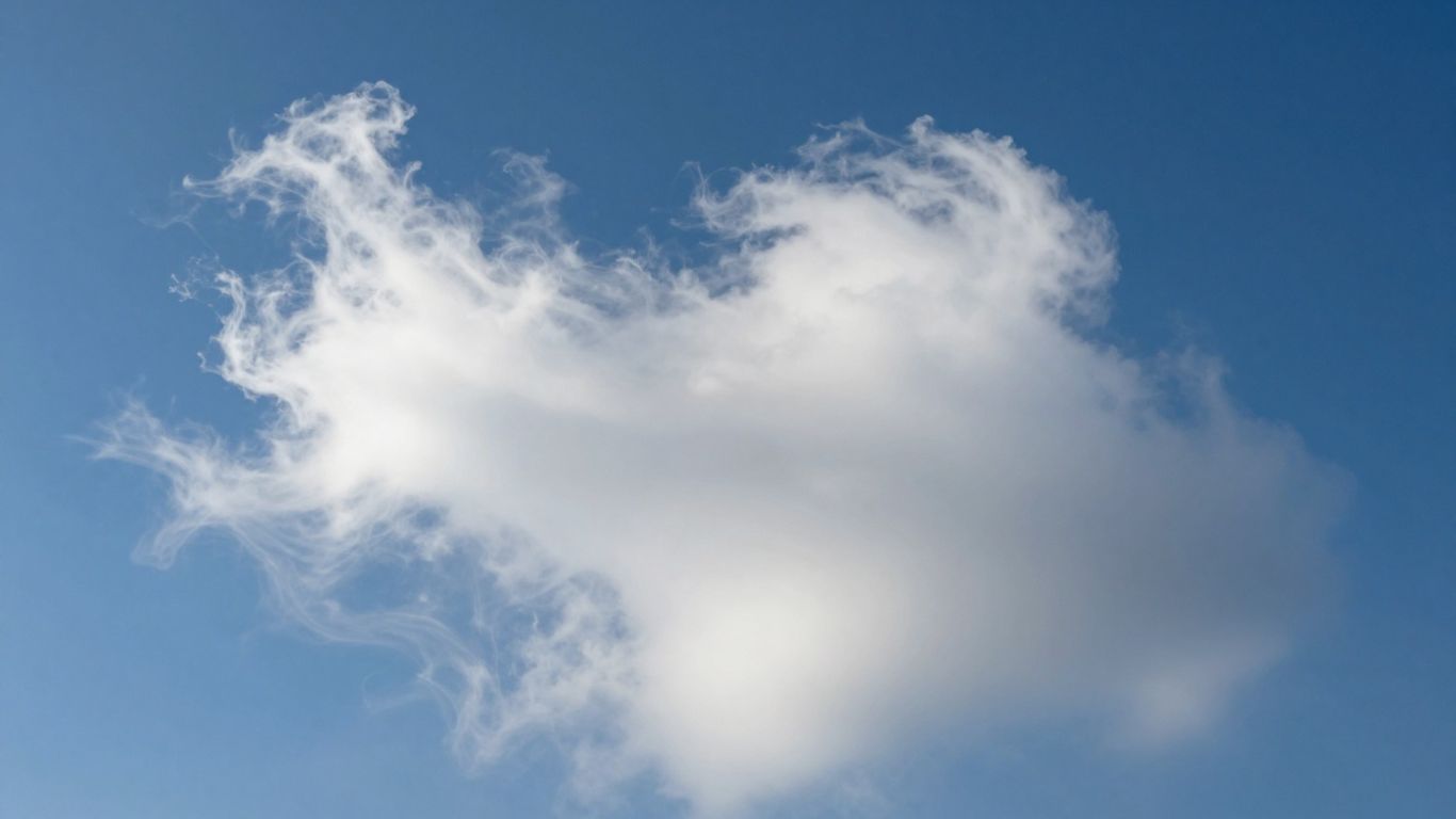
So, how does all that water vapor actually get up into the sky to form clouds? It’s not just magic; there are specific atmospheric processes that push moist air higher. Think of it like a giant, invisible elevator for water.
Convective Lifting from Surface Heating
On a sunny day, the ground heats up. This warmth is transferred to the air just above it, making that air lighter and less dense. Because it’s lighter, this warm, moist air starts to rise, much like a hot air balloon. If there’s enough moisture in the air and the conditions are right, this rising air can cool and condense, forming puffy clouds like cumulus. This is one of the most common ways clouds get their start. Sometimes, this convective lift can be really strong, pushing clouds way up into the atmosphere. This process is a key part of understanding cloud formation processes.
Orographic Lift Over Mountainous Terrain
Mountains are like big speed bumps for the atmosphere. When wind encounters a mountain range, it’s forced to go up and over it. As the air climbs higher, it cools down. If this air is carrying enough water vapor, it will condense and form clouds. You often see clouds clinging to the sides of mountains or forming right over the peaks. This is called orographic lift. It’s a pretty straightforward way that terrain influences clouds.
Forced Ascent at Low-Pressure Systems
Low-pressure systems are areas where the air pressure is lower than its surroundings. Air from higher-pressure areas tends to flow into these low-pressure zones. When this air converges, it has nowhere to go but up. This upward movement of air, especially when it’s moist, leads to cooling and condensation, creating clouds. These systems can generate widespread cloud cover and precipitation. The convergence of air masses is a significant factor in cloud generation, especially along weather fronts.
Here’s a quick rundown of how these lifting mechanisms work:
- Convective Lifting: Surface heating makes air rise.
- Orographic Lift: Mountains force air upward.
- Forced Ascent: Low-pressure systems cause air to converge and rise.
These upward motions are the initial push that allows water vapor to reach altitudes where it can transform into visible clouds. Without these mechanisms, the water vapor would just stay near the ground. The air needs to get high enough and cool down enough for condensation to occur, which is how cloud droplets form from suspended aerosols.
The Process of Water Vapor Transformation
So, how does all that invisible water vapor hanging out in the air actually turn into clouds we can see? It’s a pretty neat process, really. It all starts with water on the ground, like in oceans, lakes, or even just a puddle after it rains.
Evaporation: Water’s Journey to the Sky
Think about a sunny day. The sun warms up the water, and some of the water particles get enough energy to break free and float up into the air. This is called evaporation. It’s like the water is turning into a gas, becoming water vapor. Plants help out too, releasing water vapor from their leaves in a process called transpiration. Together, these two processes put the water vapor into the atmosphere where it can eventually form clouds. The warmer it is, and the drier the air, the faster this happens. It’s amazing how much water can get up there without us even noticing!
Cooling and Pressure Changes in the Atmosphere
Once this water vapor is in the air, it doesn’t just stay put. Warm, moist air is lighter than the air around it, so it tends to rise. Wind can also push it higher, or up the side of a mountain. As this air parcel goes up, things change. The air gets thinner, and the pressure drops. This causes the air to spread out and cool down. It’s kind of like when you let the air out of a balloon – it feels cooler. This cooling is a really big deal for cloud formation.
From Gas to Liquid: The Condensation Phase
Now, here’s where the magic happens. As the air cools, it can’t hold as much water vapor anymore. When it reaches a certain temperature, called the dew point, the water vapor starts to change back into tiny liquid water droplets or ice crystals. This is condensation. It’s the same thing that happens when you see water droplets form on the outside of a cold glass on a humid day. These tiny droplets are what make clouds visible. Without this transformation from gas to liquid, we wouldn’t have any clouds at all. It’s a constant cycle of water moving up, cooling, and changing form. You can even see a mini version of this happen in a bottle experiment that demonstrates cloud formation.
Here’s a quick rundown of the transformation:
- Evaporation/Transpiration: Liquid water turns into invisible water vapor in the air.
- Rising Air: Warm, moist air ascends, encountering lower pressure and cooler temperatures.
- Cooling: The air cools down to its dew point.
- Condensation: Water vapor changes back into tiny liquid water droplets or ice crystals, forming visible clouds.
Essential Particles for Cloud Development
So, we’ve got water vapor hanging out in the atmosphere, right? But it doesn’t just magically turn into a cloud. It needs a little help, a starting point. Think of it like baking a cake – you need ingredients, not just heat. In the sky, these starting points are tiny, almost invisible bits of stuff floating around.
What Are Condensation Nuclei?
These helpful little things are called condensation nuclei. They’re basically microscopic particles that water vapor can grab onto and condense around. Without them, the water vapor would just stay as a gas, even when it gets cool enough to potentially turn into liquid. They’re the unsung heroes of cloud formation.
How Nuclei Facilitate Droplet Formation
Imagine a single water molecule. It’s pretty happy floating around on its own. But when it bumps into a dust particle, or a speck of salt from the ocean, it’s like finding a cozy spot to settle down. More water molecules join it, and slowly, a tiny water droplet starts to form. This process is how invisible water vapor becomes the visible water droplets or ice crystals that make up clouds. It’s a bit like static cling, but on a massive atmospheric scale.
Common Types of Condensation Nuclei
What kind of stuff are we talking about? It’s a pretty diverse group:
- Dust and soil particles kicked up from the ground.
- Tiny salt crystals from ocean spray.
- Soot and smoke from fires or pollution.
- Pollen and other organic bits.
These particles are everywhere, which is why clouds can form in so many different places. They don’t need to be big; even a minuscule speck can serve as a nucleus for a cloud droplet. It’s pretty wild to think that the clouds we see are built on such tiny foundations.
Different Ways Clouds Come Into Being
So, we know clouds are basically water hanging out in the sky, right? But how does that water get up there in the first place, and why do we see so many different shapes and sizes? It all comes down to how the air moves and cools.
Surface Heating and Rising Air
Think about a sunny day. The ground soaks up that sunshine and gets warm. It then heats the air right above it. This warm air is lighter than the cooler air around it, so it starts to rise. As this air parcel climbs higher into the atmosphere, it cools down and the water vapor within it begins to condense. If there’s enough moisture, poof! You get a cloud. These are often the puffy, cotton-ball-like clouds you see on nice days, like cumulus clouds.
Air Forced Upward by Terrain
Sometimes, the land itself plays a role. When wind blows against a mountain or even just a large hill, it’s forced to go up and over it. This upward push is called orographic lift. As the air is shoved higher, it cools, and just like before, the water vapor condenses. This can create clouds that hug the mountaintops, sometimes looking like caps or banners. If the air is really moist, you might even get rain or thunderstorms forming over the mountains.
Convergence at Weather Fronts
Weather fronts are where two big air masses with different temperatures meet. When these air masses collide, especially when a cooler, denser air mass pushes into a warmer one, the warmer air has nowhere to go but up. This forced ascent is called convergence. As this warm, moist air rises, it cools and condenses, leading to cloud formation. The type of clouds you see often depends on which front is involved – warm fronts tend to produce more widespread, layered clouds, while cold fronts can bring more dramatic, towering clouds.
Cloud Formation and Atmospheric Dynamics
So, how do clouds actually get going and stay up there? It’s all about what’s happening in the atmosphere, like pressure and temperature. Think of it like a giant, invisible dance.
The Impact of Air Pressure on Condensation
Air pressure plays a pretty big role. When air rises, it moves into areas with lower pressure. This causes the air to expand, and when air expands, it cools down. This cooling is a key step in getting water vapor to turn into liquid water droplets or ice crystals, which is what clouds are made of. It’s a bit like how a spray can gets cold when you use it – the expanding gas cools things down. This process is a big part of how clouds form, especially when air is forced upward by things like mountains or weather fronts. Understanding these atmospheric dynamics is key to predicting weather patterns and is a focus in many cloud formation models.
Temperature Drops and Vapor Transformation
As air climbs higher into the atmosphere, it naturally gets colder. This temperature drop is super important. Water vapor, which is just water in its gas form and totally invisible, needs to cool down to change back into tiny liquid droplets or ice crystals. If the air doesn’t cool enough, that water vapor just stays as vapor. The rate at which air cools as it rises is called the adiabatic lapse rate, and it’s a pretty consistent thing. When the air cools to its dew point – the temperature at which it can no longer hold all its water vapor – condensation starts to happen. This is where those visible clouds begin to take shape.
Updrafts Keeping Cloud Particles Aloft
Once those tiny water droplets or ice crystals form, you might wonder how they stay floating in the sky. That’s where updrafts come in. Updrafts are currents of air moving upward, and they’re strong enough to keep cloud particles suspended. Think of it like a gentle breeze holding up dust motes. The strength of these updrafts can really affect the type of cloud that forms. Strong updrafts can lead to tall, puffy clouds like cumulus, while weaker updrafts might result in flatter, more spread-out clouds. These rising air currents are a constant feature in the atmosphere, helping to build and maintain cloud structures. Sometimes, these updrafts can be so powerful they push cloud particles way up into the atmosphere, influencing cloud predictions and precipitation.
Classifying Clouds Based on Formation
Cumulus Cloud Formation Processes
Cumulus clouds, those puffy, cotton-like shapes we often see on a sunny day, form through a specific process driven by surface heating. When the sun warms the ground, it heats the air directly above it. This warm air becomes less dense and starts to rise, a process called convection. As this parcel of air ascends, it cools. If it cools enough to reach its dew point, the water vapor within it begins to condense onto tiny particles in the atmosphere. This condensation is what makes the cloud visible. These clouds typically have flat bases, marking the altitude where condensation begins, and puffy tops that grow upward as long as the air continues to rise. The size and vertical extent of cumulus clouds can vary greatly, from small, fair-weather puffs (cumulus humilis) to towering giants that can produce thunderstorms (cumulonimbus).
Stratus Cloud Formation Processes
Stratus clouds are quite different from cumulus. Instead of forming from rising thermals, they typically form in stable atmospheric conditions where air is lifted gently over a broad area. This can happen when a large mass of air is forced upward, perhaps by a weak weather system or when warm, moist air moves over a cooler surface. Stratus clouds often appear as flat, gray, featureless sheets that can cover the entire sky. They are essentially fog that hasn’t reached the ground. Because they form in stable air, they don’t have the distinct vertical development seen in cumulus clouds. They often bring drizzle or light snow. Think of them as a blanket spread across the sky, indicating a steady, widespread lifting of air rather than localized updrafts. These clouds are often found at low altitudes.
Lenticular Cloud Formation Processes
Lenticular clouds are some of the most unusual-looking clouds, often resembling lenses or flying saucers. They form in a very specific way, usually near mountains. When stable, moist air flows over a mountain range, it’s forced to rise on the windward side and then sink on the leeward side, creating waves in the atmosphere, much like ripples on water. If the air cools to its dew point within the crest of these waves, lenticular clouds form. They appear stationary, even though the air is constantly flowing through them. This happens because the cloud forms in the rising air of the wave crest and evaporates in the sinking air on the other side, maintaining its shape. They are a clear indicator of wave activity in the atmosphere and are often seen by pilots as a sign of turbulence. They don’t typically produce precipitation but are a fascinating visual of atmospheric dynamics.
The Science Behind Cloud Appearance
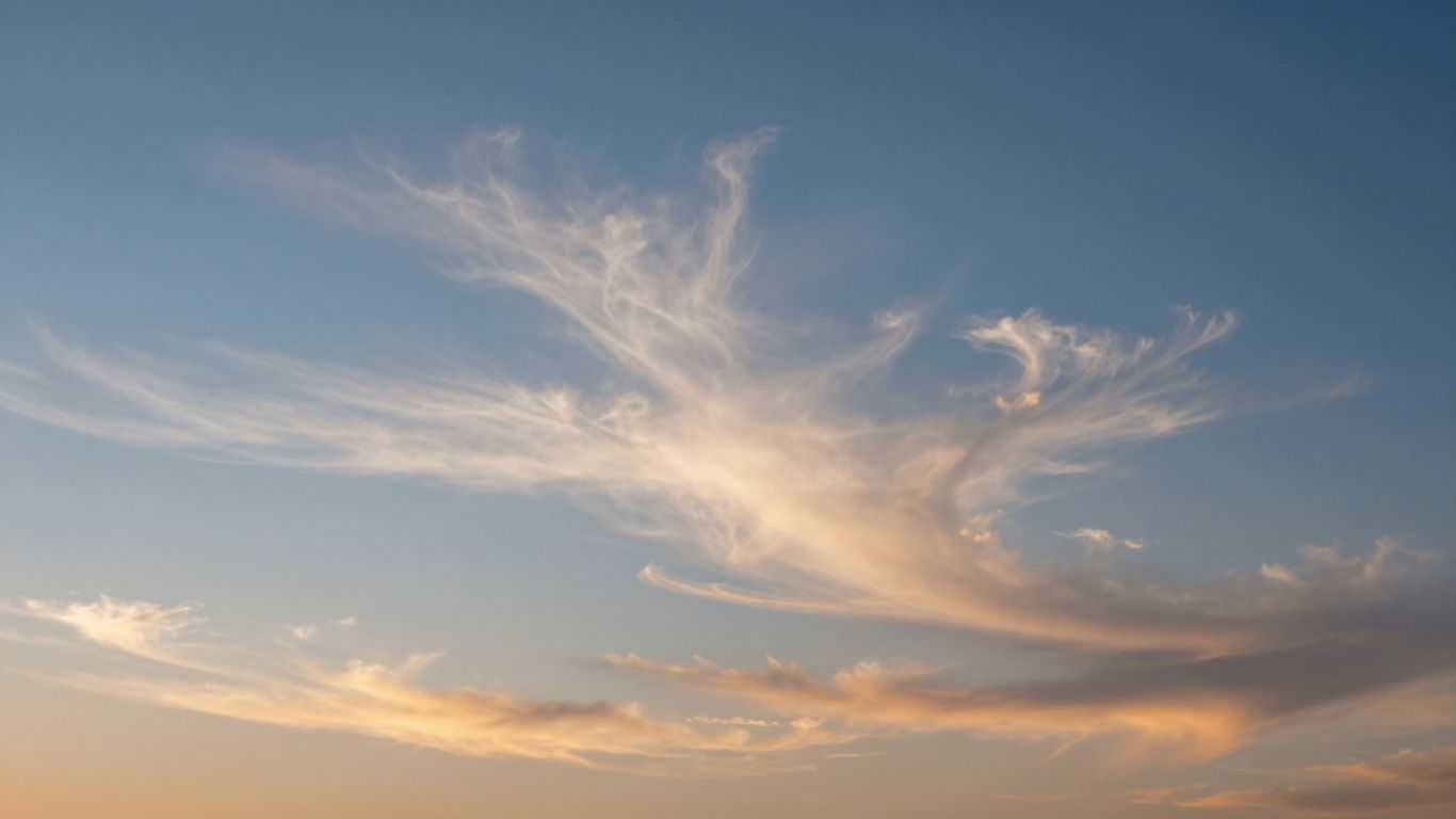
Why Clouds Are Visible Water
So, why do clouds, which are essentially just water, look like they do? It all comes down to how light interacts with the tiny water droplets or ice crystals that make them up. When sunlight hits these particles, it gets bounced around – a process called scattering. Because there are so many of these little particles packed together, most of the light gets reflected back out before it can go very far into the cloud. This is why clouds usually look white, especially when you see them from above. Think of it like a big, fluffy mirror.
The Size of Cloud Droplets
The size of these water droplets or ice crystals plays a big role. In a typical cloud, these particles are really small, usually less than 0.02 millimeters across. They’re just the right size to scatter all the colors of visible light pretty equally. Since all colors are scattered the same way, our eyes perceive the combined light as white. It’s a bit like how snow looks white, even though individual ice crystals are clear.
From Invisible Vapor to Visible Cloud
Clouds start as invisible water vapor in the air. When this vapor cools down, it needs something to cling to in order to turn back into liquid water or ice. These are called condensation nuclei – tiny particles like dust or salt. Once the water vapor condenses onto these nuclei, it forms the tiny droplets or crystals we see. The more of these droplets there are, and the denser they are, the more light they scatter, making the cloud visible. If the droplets get too big and heavy, they fall as rain, and the cloud might look darker because there’s more space between the remaining droplets, allowing light to pass through more easily.
Altitude and Cloud Genesis
Clouds aren’t just floating around randomly; their formation is really tied to where they are in the atmosphere. Think of the sky like a giant building with different floors, and clouds tend to hang out on specific levels. This is because temperature and pressure change a lot as you go higher up, and those changes are what make water vapor decide to become visible.
Clouds Forming in the Troposphere
The vast majority of clouds we see and interact with daily are born in the troposphere. This is the lowest layer of our atmosphere, the one closest to the ground where all our weather happens. Within the troposphere, clouds are generally categorized by their altitude. You’ve got your low-level clouds, typically forming below 2,000 meters (about 6,500 feet). These are often made of water droplets and include familiar types like stratus and stratocumulus. Then there are mid-level clouds, found between 2,000 and 7,000 meters (roughly 6,500 to 23,000 feet), which can be a mix of water droplets and ice crystals, like altocumulus and altostratus. Finally, high-level clouds float way up there, above 7,000 meters (23,000 feet), and are almost always made of ice crystals because it’s so cold. These are your wispy cirrus clouds and their relatives.
Higher Altitude Cloud Formation
As you climb higher in the troposphere, the air gets thinner and much colder. This extreme cold means that water vapor doesn’t need to cool down as much to turn into ice crystals. So, clouds forming at these higher altitudes, like cirrus clouds, are primarily composed of ice. These ice crystals are what give cirrus clouds their delicate, feathery appearance. The processes that lift air to these heights are often gentler, leading to the spread-out, thin formations we associate with high clouds. It’s a different scene up there compared to the bustling activity of lower cloud layers. Understanding these altitude ranges helps us predict weather patterns.
Stratospheric and Mesospheric Clouds
Now, things get really interesting when we talk about clouds forming above the troposphere. While rare, clouds can actually form in the stratosphere and even the mesosphere. Stratospheric clouds, sometimes called nacreous or polar stratospheric clouds, form in the very cold polar regions during winter. They are made of ice crystals or nitric acid and can create stunning iridescent colors. Even higher up, in the mesosphere, you can find noctilucent clouds, which are the highest clouds in Earth’s atmosphere. These appear as faint, glowing blue or white wisps, visible only during twilight. They are thought to be made of tiny ice crystals forming on meteor dust. These clouds are so high and so thin that they’re a world away from the rain clouds we see every day.
The altitude at which a cloud forms significantly influences its composition and appearance. Higher, colder altitudes favor ice crystals, leading to wispy, thin clouds, while lower, warmer altitudes are more likely to host water droplets, forming denser cloud structures.
Weather Fronts and Cloud Generation
Weather fronts are where different air masses meet, and this collision is a big deal for cloud formation. Think of it like two big, invisible rivers of air bumping into each other. When these air masses meet, one usually gets pushed up over the other, and that upward movement is key to making clouds. It’s not just a simple bump; the type of front really changes the cloud show.
Colliding Air Masses and Rising Air
When warm air meets cold air, the warmer, lighter air tends to ride up over the denser, colder air. This gradual lifting causes the air to cool, and as it cools, the water vapor within it starts to condense. This condensation process, happening around tiny particles in the air, is what makes clouds visible. The extent and speed of this lifting directly influence the type and thickness of the clouds that form. This is a fundamental part of how weather systems develop, and understanding it helps us predict what kind of weather might be coming our way. You can see this process at play in many weather systems, especially those associated with low pressure areas.
Warm Front Cloud Patterns
At a warm front, the warm air mass slowly glides up and over the cooler air mass. This gentle, widespread ascent often leads to a broad, layered cloud deck. You’ll typically see high, wispy cirrus clouds appear first, followed by mid-level altostratus and altocumulus, and then lower, thicker stratus and nimbostratus clouds. These latter clouds can bring steady, prolonged precipitation. Sometimes, if the warm air is unstable, you might even get embedded thunderstorms, but the overall pattern is usually more stratiform.
Cold Front Cloud Patterns
Cold fronts are a bit more dramatic. Here, a dense, cold air mass aggressively shoves the warmer air mass upward. This rapid, forceful lifting often results in towering clouds. Cumulus clouds are common, and they can quickly grow into massive cumulonimbus clouds, the kind that bring thunderstorms, heavy rain, and sometimes hail. The cloud formation is usually more concentrated along the front itself, creating a more defined band of weather compared to the widespread clouds of a warm front. These powerful storm clouds are known for their dramatic displays, like those seen with cumulonimbus clouds.
The interaction at weather fronts is a primary driver of cloud formation across large regions. The way air masses interact dictates the vertical motion, which in turn determines the cooling and condensation needed for clouds to appear. Different front types create distinct cloud sequences and associated weather.
So, That’s How Clouds Happen
So, there you have it. Clouds aren’t just fluffy white things floating around; they’re actually made of tiny water droplets or ice bits. It all starts with water evaporating from the ground, turning into vapor, and then rising up. As that air gets higher and cooler, the vapor needs something to stick to – like dust or pollen – and that’s when it turns back into liquid or ice, forming those clouds we see. Whether it’s a big puffy cumulus or a thin wispy cirrus, the basic idea is the same: water vapor cooling and gathering together. Pretty neat, right? Next time you look up, you’ll know exactly what’s going on up there.
Frequently Asked Questions
What is the basic ingredient for clouds?
Clouds are mostly made of tiny water droplets or ice crystals. These are so small and light that they can float in the air. The water that forms clouds starts as water vapor, which is the gas form of water. This vapor gets into the air through evaporation from oceans, lakes, and rivers.
How does water vapor turn into clouds?
When warm, moist air rises, it cools down and the pressure decreases. As the air cools, the water vapor within it starts to change back into tiny liquid water droplets or ice crystals. This process is called condensation, and it’s what makes clouds visible.
What are condensation nuclei and why are they important?
Condensation nuclei are tiny particles floating in the air, like dust, pollen, or smoke. Water vapor needs these particles to help it condense into water droplets. Think of them as tiny surfaces for the water vapor to gather on, making cloud formation much easier.
What makes air rise to form clouds?
Several things can make air rise. The sun can heat the ground, which warms the air above it, making it lighter and causing it to rise (convective lifting). Air can also be pushed upward when it encounters mountains (orographic lift), or when large air masses collide at weather fronts or in low-pressure areas.
Are clouds made of water vapor?
No, clouds are not made of water vapor itself. Water vapor is an invisible gas. Clouds are formed when this invisible water vapor cools and changes into visible tiny water droplets or ice crystals. So, you can’t see water vapor, but you can see the clouds it forms!
Why don’t cloud droplets fall out of the sky right away?
The water droplets or ice crystals that make up clouds are incredibly small and light. They are so tiny that even small air currents, called updrafts, can keep them floating in the atmosphere. They only fall as rain or snow when they combine and become heavy enough.
How do mountains affect cloud formation?
When wind blows against a mountain, it’s forced to rise up the slopes. As the air climbs higher, it cools, and if there’s enough moisture, clouds can form. This is called orographic lift. Sometimes, this can create unique clouds that look like caps on the mountain tops.
What is the difference between different types of clouds?
Clouds form in different ways and at different heights, which leads to their varied appearances. For example, puffy cumulus clouds often form from rising warm air, while flat, sheet-like stratus clouds might form when air is gently lifted over a large area. Meteorologists use Latin names to classify these different types based on their shape and altitude.